Mt St Helens Climbing - 364S Map
Essential navigation for the crater rim and beyond.
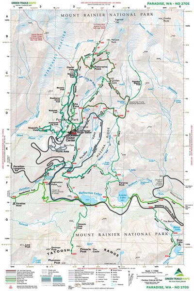
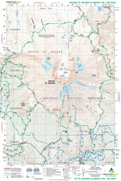
Green Trails Map 364S is a specialized tool designed specifically for summiting and circumnavigating Mount St. Helens. With a highly detailed 1:34,750 scale, it offers precise topography for navigating the climbing routes to the crater rim as well as the complete 29-mile Loowit Trail. Whether you are skinning up from Marble Mountain Sno-Park in winter or scrambling the Ptarmigan Trail in summer, this map provides critical data on water sources, campsites, and route realignments in this shifting volcanic landscape.
Original: $12.00
-65%$12.00
$4.20Mt St Helens Climbing - 364S Map
Essential navigation for the crater rim and beyond.
Green Trails Map 364S is a specialized tool designed specifically for summiting and circumnavigating Mount St. Helens. With a highly detailed 1:34,750 scale, it offers precise topography for navigating the climbing routes to the crater rim as well as the complete 29-mile Loowit Trail. Whether you are skinning up from Marble Mountain Sno-Park in winter or scrambling the Ptarmigan Trail in summer, this map provides critical data on water sources, campsites, and route realignments in this shifting volcanic landscape.
Product Information
Product Information
Shipping & Returns
Shipping & Returns
Description
Essential navigation for the crater rim and beyond.
Green Trails Map 364S is a specialized tool designed specifically for summiting and circumnavigating Mount St. Helens. With a highly detailed 1:34,750 scale, it offers precise topography for navigating the climbing routes to the crater rim as well as the complete 29-mile Loowit Trail. Whether you are skinning up from Marble Mountain Sno-Park in winter or scrambling the Ptarmigan Trail in summer, this map provides critical data on water sources, campsites, and route realignments in this shifting volcanic landscape.